Location and Extent of India – Geography
Geographical Coordinates: Location and Extent of India
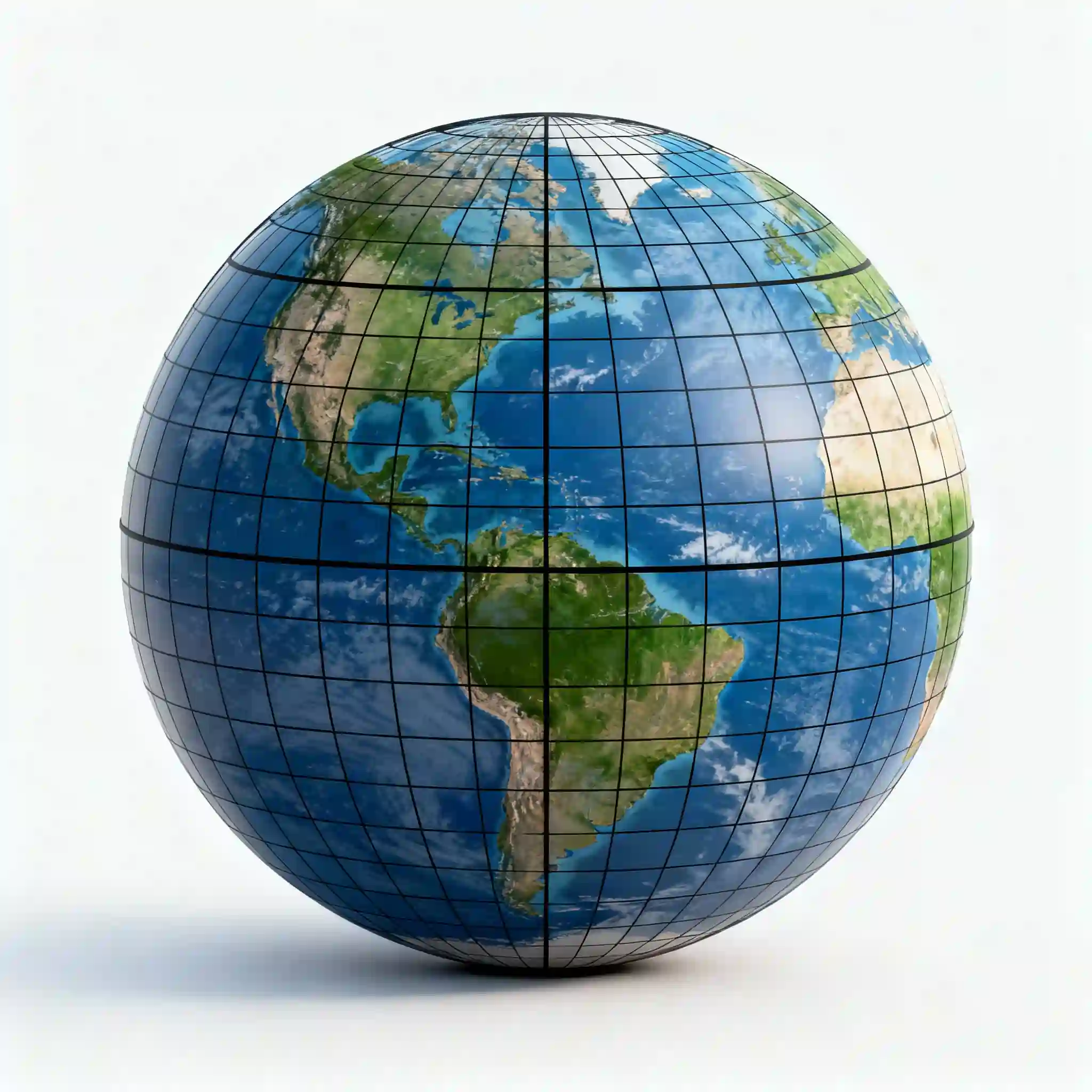
India is strategically positioned in the North-Eastern Hemisphere of the world. India’s geographical coordinates are:
Latitudinal Extent: The mainland of India extends between 8°4′ North to 37°6′ North
Longitudinal Extent: India spans from 68°7′ East to 97°25′ East
Central Coordinates: India’s approximate center lies at 20°N latitude and 77°E longitude
Understanding Latitude and Longitude
Latitude measures the distance north or south from the Equator (0°). Since all of India lies north of the Equator, it is entirely in the Northern Hemisphere.
Longitude measures the distance east or west from the Prime Meridian (0°). As India lies east of the Prime Meridian, it falls in the Eastern Hemisphere.
The Tropic of Cancer
The Tropic of Cancer (23°30′ N) is a significant latitude line that passes through India, dividing the country into almost two equal halves:
Northern Part of Tropic of Cancer: Experiences temperate climate with cooler winters
Southern Part of Tropic of Cancer: Experiences tropical climate with warmer winters
States it passes through: Gujarat, Rajasthan, Madhya Pradesh, Chhattisgarh, Jharkhand, West Bengal, Tripura, and Mizoram
Size and Area of India
India is a vast country with impressive dimensions:
Total Area
Total Geographical Area: 3.28 million square kilometers (3,287,263 sq km)
World Rank: 7th largest country in the world by land area
Global Share: India accounts for approximately 2.4% of the world’s total land area
Physical Dimensions
North to South (Indira Col in the Siachen Glacier in Ladakh to Kanyakumari): 3,214 kilometers
East to West (Sir Creek area in Gujarat to Kibithu in Arunachal Pradesh): 2,933 kilometers
India has a total land border of 15,106.7 kilometers
Total Coastline: 7,516.6 kilometers including mainland, Lakshadweep, and Andaman & Nicobar Islands ( Gujarat has India’s longest coastline, stretching approximately 1,600 km. Tamil Nadu has India’s 2nd longest coastline with 1,068 km. Andhra Pradesh has India’s 3rd longest coastline with 974 km).
Location Advantages of India
India’s geographical location provides numerous strategic and economic advantages:
Central Location in Indian Ocean
- Significance: This central location is paramount for international trade and defense.
The Deccan Peninsula juts southward into the Indian Ocean, dividing it into the Arabian Sea (west) and Bay of Bengal (east)
India is strategically located at the crossroads of major sea routes, connecting Europe in the West and East Asia. This facilitates extensive maritime trade and commerce.
Economic Benefits
- Expansive port infrastructure: A coastline of over 7,500 km, dotted with major ports like Mumbai, Chennai, and Kolkata, facilitates large-scale maritime trade, handling a vast volume of imports and exports.
Reduced transportation costs: Access to major shipping routes allows for cheaper and more efficient transport of goods, boosting the competitiveness of Indian exports and making imports more affordable.
Neighboring Countries and Boundaries
India shares its borders with nine neighboring countries – seven by land and two by sea:
Land Borders (7 Countries)
India has a total land frontier of 15,106.7 shared with:
Bangladesh: 4,096.7 km (longest border)
Bordering states: West Bengal, Meghalaya, Mizoram, Tripura, Assam
China: 3,488 km (McMahon Line)
Bordering states: Ladakh, Himachal Pradesh, Uttarakhand, Sikkim, Arunachal Pradesh
Pakistan: 3,323 km (Radcliffe Line)
Bordering states: Jammu & Kashmir, Ladakh, Punjab, Rajasthan, Gujarat
Nepal: 1,751 km
Bordering states: Bihar, Uttarakhand, Uttar Pradesh, Sikkim, West Bengal
Myanmar: 1,643 km
Bordering states: Arunachal Pradesh, Nagaland, Mizoram, Manipur
Bhutan: 699 km
Bordering states: West Bengal, Sikkim, Arunachal Pradesh, Assam
Afghanistan: 106 km (Durand Line) [It is located in the region of Ladakh (specifically the Wakhan Corridor), an area currently occupied by Pakistan]
Maritime Borders (2 Countries)
Sri Lanka: Separated by the Palk Strait and Gulf of Mannar
Maldives: Located southwest of India in the Indian Ocean, below Lakshadweep Islands
Water Bodies Surrounding India
South: Indian Ocean
East: Bay of Bengal
West: Arabian Sea
Indian Standard Time (IST)
India follows a single time zone across its entire territory despite spanning about 30 degrees of longitude:
Time Zone: GMT +5:30 (5 hours 30 minutes ahead of Greenwich Mean Time)
Standard Meridian: 82°30′ East longitude (82.5° E)
Reference City: Passes through Mirzapur in Uttar Pradesh
Adoption Date: Officially adopted on January 1, 1906
Calculation of IST
The time difference is calculated based on Earth’s rotation:
- The Earth rotates 360° on its axis in approximately 24 hours.
- This means the Earth rotates 15° every hour (360° ÷ 24 hours = 15°/hour).
- Consequently, for every 1° of longitude, there is a time difference of 4 minutes (60 minutes ÷ 15° = 4 minutes/°). So Earth takes 4 minutes to rotate 1 degree.
To ensure a uniform time across the country, India chose a central meridian to serve as its standard.
The 82°30′ East longitude was selected because it is a multiple of 7.5° (the standard interval for time zones) and passes roughly through the center of India.
This meridian passes through the city of Mirzapur in Uttar Pradesh, which is often cited as the reference point for IST.
Calculate the time difference from GMT
- Since India’s standard meridian is at 82.5° E, you can multiply this longitude by the time conversion factor of 4 minutes per degree.
- Calculation:82.5×4 minutes=330 minutes82.5 cross 4 minutes equals 330 minutes
82.5×4 minutes=330 minutes
- Convert minutes to hours:330 minutes÷60 minutes/hour=5.5 hours330 minutes divided by 60 minutes/hour equals 5.5 hours
330 minutes÷60 minutes/hour=5.5 hours
- This translates to 5 hours and 30 minutes. [GMT +5:30]
As India lies to the east of the Prime Meridian, its time is ahead of GMT.
Therefore, the Indian Standard Time (IST) is 5 hours and 30 minutes ahead of GMT (or UTC).
For example, when it is 12:00 PM (noon) in London, it is 5:30 PM in India.
Important Note:
Latitude lines: 179 (some sources count 181 if poles are included as lines)
Longitude lines: 360, representing all the 360 degrees of the globe, with 180° east and 180° west of the Prime Meridian
The angular distance between two latitude lines is always 1 degree. Since latitude lines are parallel, the distance between two lines of latitude remains nearly the same everywhere—approximately 111 kilometers (69 miles).
The angular distance between two longitude lines is also 1 degree. At the equator, 1° of longitude is about 111 kilometers (69 miles). However, the distance decreases towards the poles, where all longitude lines meet at a single point.
![Read more about the article Biography of Prophet Adam [Peace Be Upon Him]](https://luxelifer.com/wp-content/uploads/2025/08/Biography-of-Prophet-Adam-300x169.webp)